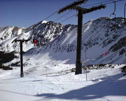
I skied Arapahoe Basin on the morning of Monday, 3/1/99, then I drove to Telluride which took about 6 hours. I took the southern route of highway 50. Here are some pictures from Arapahoe Basin, and then at the end a few pictures of the journey back to Telluride.
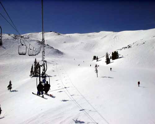
Arapahoe Basin review: it's a dive! For a famous ski hill, it is tiny (only 4 real lifts worth riding) and the mid-mountain lodges and ski patrol houses are little burned out sheds from the 50s. It is tucked into a tiny little box canyon. But for such a small mountain, it has an alarming amount of STEEP, STEEP double black diamond terrain. The only people skiing there are locals, and the lift tickets are $40 (as opposed to $55 at Breckenridge). Arapahoe Basin is famous for being windy, and the whole top is very exposed. The day I was there was considered "calm", and the wind bit right through my clothing while I took some pictures at the top. It was worth seeing once, but I doubt I'll ever go back. It's a foul little mountain that will break your legs.
A-Basin random picture:

This shows the box canyan it is nestled in:
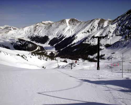
Random view looking upward (while protected in the box canyan):
View from the top. You can see Breckenridge runs off in the distance, just to the right of the second boundary pole from the right.
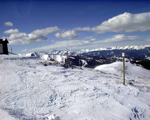
Same spot, different angle:
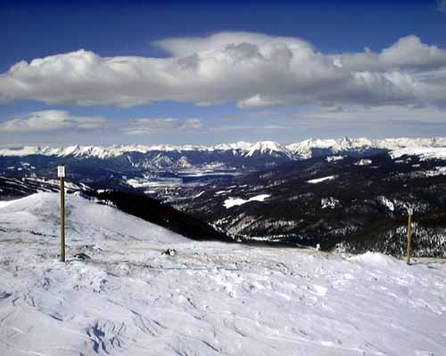
Random view:
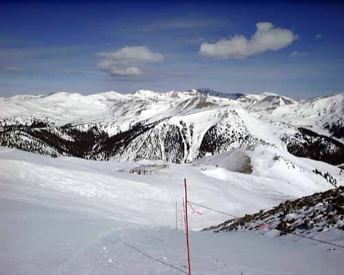
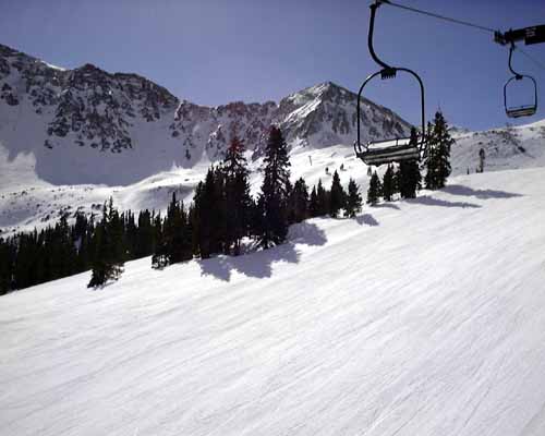
View from the chair, looking up. Notice how exposed the whole hill is:
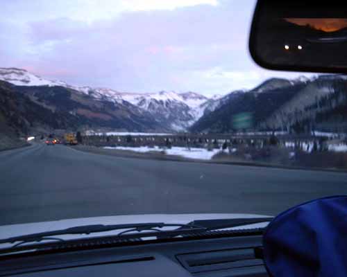
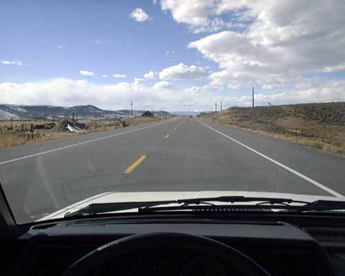
Now, this is driving along highway 50, on the way to Telluride. Picture taken out the front of the Sentra at 60 mph:
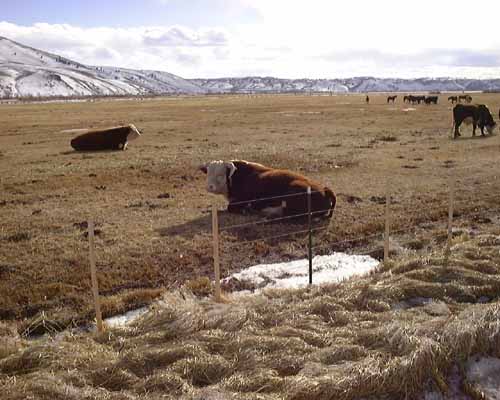
Check out this bull! He's HUGE I tell you:
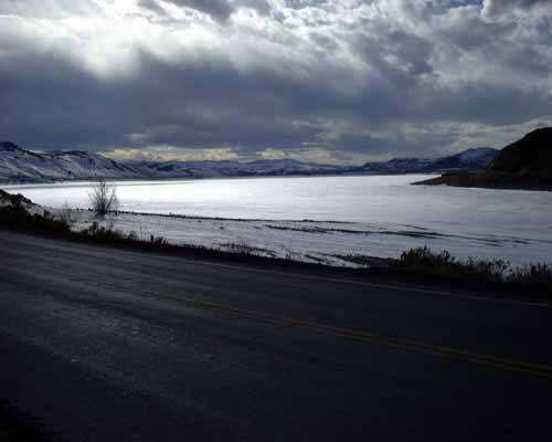
The sun is going down, and here is a frozen lake:
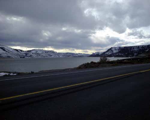
Further along the lake, it is no longer frozen:
Finally, after 6 hours of driving, this is Telluride (as I'm driving in down the box canyan at dusk):
